
Kalamazoo Township ZIP Code Coverage
Five postal areas appear in the working coverage set for Kalamazoo Township and its nearby service area: 49004, 49006, 49007, 49048, and the edge area 49009. This Kalamazoo Township ZIP code directory follows official regional maps and township or county postal references. It does not claim that every delivery point inside one of those postal areas is township land. For Kalamazoo Township postal research, exact delivery and ZIP+4 information must be confirmed with USPS, while the parcel viewer establishes the civil jurisdiction.
| ZIP | Area associated with the township service area | Postal city | Record-search caution |
|---|---|---|---|
| 49004 | Northern and northeastern township portions and the Parchment area | Kalamazoo, MI | Confirm the local unit in a GIS or parcel result. |
| 49006 | Northwestern urban edge and Westwood/township-edge area | Kalamazoo, MI | Westwood crosses the city and township boundary. |
| 49007 | Central and northern delivery area near the city/township edge | Kalamazoo, MI | Many addresses are in the City of Kalamazoo. |
| 49048 | Eastern delivery area near the township and Comstock Northwest edge | Kalamazoo, MI | Check the parcel because nearby local units meet this postal area. |
| 49009 | Western and southwestern Kalamazoo postal area | Kalamazoo, MI | Use as an edge area, not as a promise of township-wide coverage. |
Kalamazoo Township ZIP boundaries follow delivery routes. They can cross city, township, school, and other administrative lines. A ZIP-wide count is therefore not a Kalamazoo Township population count, and a postal city label does not determine which clerk, assessor, or planning office holds a record.
Read the Kalamazoo Township ZIP Code Directory Carefully
Kalamazoo Township is a charter township in Kalamazoo County, not the City of Kalamazoo. The township office is at 1720 Riverview Drive in 49004, but that ZIP also appears with a Kalamazoo postal label and Parchment-area addresses. The county’s ZIP-area and state ZIP maps are useful for finding the broad postal zones. They are not parcel-by-parcel township maps. A Kalamazoo Township record should name the municipality shown by the parcel or local-unit layer, not infer it from the word Kalamazoo in an address.
The county Township Grid Map identifies Kalamazoo Township as township number 06. That local-unit check matters at every Kalamazoo Township postal edge, particularly when an old directory, notice, or deed gives only a Kalamazoo address. Use the parcel ID, legal description, and map position to bridge postal wording to the correct records custodian.
Kalamazoo Township ZIP Code 49004
ZIP code 49004 is the clearest township reference point because the township office uses it, but it still does not draw a Kalamazoo Township line. The area includes northern and northeastern township portions and the Parchment edge. County material describes the postal label as Kalamazoo and Parchment. For a given Kalamazoo Township address, use the delivery ZIP as a verification field and the parcel’s local-unit result as the jurisdiction field.
This distinction is practical when a document refers to a Kalamazoo address without naming its governmental unit. Start with the exact delivery address, check it in USPS, then inspect the county parcel result and GIS layer. For Kalamazoo Township records, a tax mailing address remains separate from the situs or physical property address. Neither postal field alone identifies current presence at the property.
Kalamazoo Township ZIP Code 49006 and Westwood
ZIP code 49006 covers the northwestern Kalamazoo urban edge and the Westwood/township-edge area. The City of Kalamazoo’s official neighborhood information describes Westwood as partly in the city and partly in Kalamazoo Township. That makes it a useful local warning against treating a neighborhood name or postal code as a legal boundary. Search the actual parcel, then choose the township or city office shown by the record.
The same caution applies to maps and historical sources. A city directory entry marked Kalamazoo can refer to a city block, a township property, or land later absorbed by annexation. At a Kalamazoo Township postal edge, the parcel-first workflow in the Kalamazoo Township street directory provides the closer address method.
Find Records Within a Kalamazoo Township ZIP
County Parcel Search does not offer a public ZIP field. Its available search routes are owner, parcel ID, and street. For Kalamazoo Township, the county GIS viewer can show map extent and parcel layers, but its public landing page does not promise a ZIP filter. Michigan QVF requests can be scoped by jurisdiction, precinct, district, school, or village, rather than by a universal ZIP control. A ZIP therefore narrows the geography, then the address and parcel route do the record work.
- Verify the Kalamazoo Township address in USPS and record the delivery ZIP exactly as returned.
- Search the address or parcel in the county GIS viewer and turn on the township or city boundary layer.
- Open County Parcel Search with the street, owner, or parcel ID route and save the situs address, parcel ID, and local unit separately.
- Use a narrow QVF or public-record request only when the documented jurisdiction or precinct scope fits the research question.
- For an older address-to-name clue, compare library criss-cross or telephone directories after checking historic street names and numbers.
The USPS ZIP Code Lookup is the source represented below. It supports address-to-ZIP verification and ZIP-to-city/state checking, which are the two postal checks needed before county records are compared.
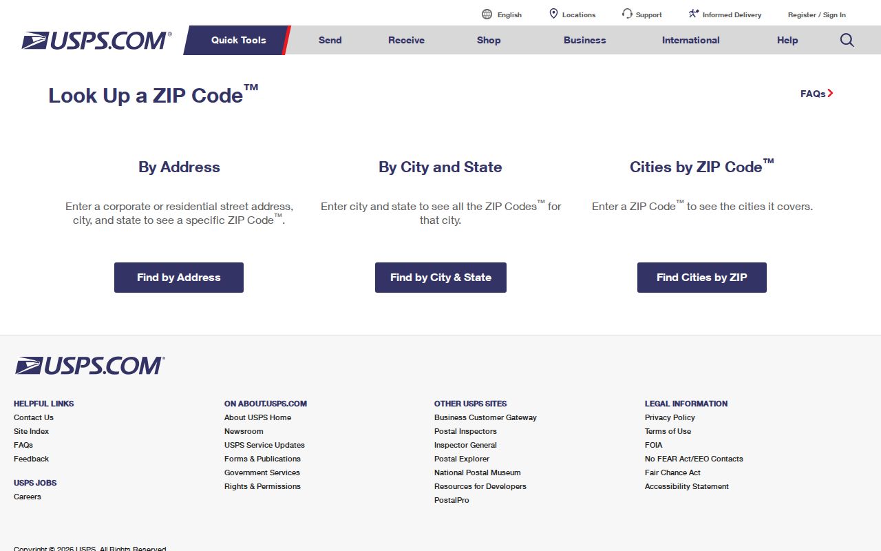
USPS confirms a Kalamazoo Township postal delivery value, while the county parcel and map records identify the governmental unit. Keeping both results avoids assigning a record to the wrong local office.
Kalamazoo Township ZIP Code Verification Fields
The USPS tool is a verification service, not a people or parcel directory. Use an exact Kalamazoo Township address when checking a delivery ZIP. Use the ZIP-to-city/state route when testing a postal label. Then retain the original input and the returned result with the parcel research notes. This small record makes it clear which fact comes from USPS and which comes from the county.
| USPS route | Input | Result used here | What it does not establish |
|---|---|---|---|
| Address to ZIP | Street delivery address | Delivery ZIP and ZIP+4 when returned | Township or city jurisdiction |
| ZIP to city/state | Five-digit ZIP | Postal city and state association | Parcel boundary or record custodian |
| County Parcel Search | Owner, parcel ID, or street | Parcel and property trail | A universal ZIP-wide list |
| County GIS viewer | Address or parcel | Map position and local-unit context | Postal delivery validation |
Note: The research did not locate an official parcel-level crosswalk that lists every Kalamazoo Township parcel by ZIP, so both USPS and GIS checks remain necessary.
Kalamazoo Township ZIP Code and Parcel Terms
Kalamazoo Township postal, assessment, and recorded-land files use different address fields. A clear research note preserves each one instead of flattening them into one address. Kalamazoo County accepts parcel identifiers with hyphens, spaces, or no punctuation, and it allows a prefix search. The county does not publish a full public key for each number segment, so do not label a segment as a lot or block without the parcel card or legal description.
- ZIP code
- A postal delivery area. It is not a city or township boundary.
- ZIP+4
- An added delivery-point detail used with a five-digit ZIP. Confirm it through USPS for the exact address.
- PO-box ZIP
- A ZIP used for post-office boxes; it does not describe the physical location of a property.
- Carrier route
- A delivery-route grouping used for mail handling. It is not a parcel or municipal record boundary.
- Legal description
- The land description in a deed or plat, such as a subdivision lot and block or metes-and-bounds wording.
Historic Kalamazoo Township ZIP Code Searches
Historical Kalamazoo Township address research should not assume that a current ZIP appears in an older source. Kalamazoo Public Library’s criss-cross directories can be more useful for a past street and number. The library notes that its criss-cross run begins in 1954, while earlier city directories and maps help bridge older address work. A 1954 Bresser entry can connect a street and number even where postal-code information is absent or changed.
Address continuity is also affected by Kalamazoo’s 1883 numbering change and the citywide 1925 renumbering. There was no 1925 directory, so compare 1924 and 1926, then use the 1932 Sanborn atlas old-and-new number evidence. Street names changed as well: examples include Cork and St. James, Riverview and Seminary, and Vine and Rice. For historical work near the former city edge, verify present jurisdiction because annexation changed city geography between 1843 and 1962.
ZIP Code Boundaries and Kalamazoo Township
A Kalamazoo Township ZIP code directory cannot turn a postal area into a resident roll or a legal map. Addresses in 49007 may be in the City of Kalamazoo. The eastern 49048 area reaches the Comstock Northwest edge. The western 49009 label is shown on regional maps but was not confirmed as a general township ZIP. Use the exact address, USPS result, parcel jurisdiction, and record date together, especially at a boundary.
Records also have privacy limits. Motor-vehicle residential data and utility accounts are not public ZIP-search sources. Election records protect sensitive information, and Michigan’s Address Confidentiality Program protects actual addresses for qualifying participants. For a needed existing county record, a focused written request through the Kalamazoo County FOIA portal can specify the address, date range, and record type. Michigan FOIA ordinarily allows five business days for a response, with one written ten-business-day extension.