
Kalamazoo Township Neighbors by Block
Public records around a Kalamazoo Township address answer different block questions. Kalamazoo Township block sources must be read by role. The GIS layer establishes which parcels are adjacent. County Parcel Search connects a parcel or street result to an owner record. Deeds supply recorded transfers and legal descriptions, while a properly scoped voter request can offer limited registration evidence. Historical criss-cross books are useful for past occupants at nearby street numbers. Community organizations are a separate contact layer, not a private household roster.
| Block source | What it shows around an address | Access |
|---|---|---|
| County GIS parcel layer | Adjacent parcel polygons, street frontage, jurisdiction, and map context | Free ArcGIS viewer |
| County Parcel Search | Street or parcel rows and the associated owner record | Free county search |
| Register of Deeds index | Recorded transfers, parties, parcel references, and legal descriptions | Free index; document images have charges |
| Michigan QVF | Public registration fields in a lawful, limited request | Request rules and redactions apply |
| KPL historical directories | Past address or telephone evidence at nearby street numbers | Local History access |
| Community groups | Public contacts, meetings, newsletters, and local projects | Organization pages or directory |
Owner and household evidence are not interchangeable. For Kalamazoo Township, a parcel record identifies an owner associated with the property and may show a mailing address for tax correspondence. That mailing address can be elsewhere. A voter entry concerns registration, not every person connected to an address. Historical directories have their own dates and omissions. Labeling each result by source and date makes the record trail clearer for neighbors and avoids guessing from a single row.
Map a Kalamazoo Township Block
The adjacent-parcel method begins with the county’s map, not an estimated circle around a pin. For a Kalamazoo Township block, search the address or parcel, select the correct polygon, and note its parcel ID and local unit. Zoom out one or two levels, then identify polygons that share a boundary or front the same street segment. A road, drainage feature, or condominium master parcel can make visual proximity misleading, so use the parcel layer and legal description instead of assuming that every nearby outline is a separate neighboring parcel.
- Open the Kalamazoo County Parcel Viewer and locate the known Kalamazoo Township address or parcel ID.
- Select the anchor parcel and record the Kalamazoo Township situs address, parcel ID, jurisdiction, and search date.
- Use the identify or select function on each Kalamazoo Township adjoining polygon. Save each parcel ID before looking up any associated record.
- Open County Parcel Search for the selected Kalamazoo Township IDs, then use the deed index only where a recorded ownership trail is relevant.
The county GIS parcel-viewer source is shown below with the map context needed for a Kalamazoo Township neighbors search.
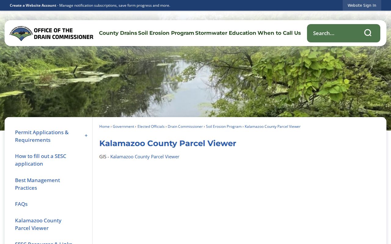
The selected Kalamazoo Township parcel is the starting point, not a roster. Use the map for geometry and the assessor or recorder record for the supporting identity evidence.
For a full named-street chain rather than one block, use the Kalamazoo Township by-street directory. It follows street-wide property and historical-record steps without repeating them for every neighbor parcel.
Kalamazoo Township GIS Context
The county identifies its map as a compilation of data from township, village, city, county, state, and federal sources that may contain errors. That warning matters at the block level. Turn on boundary and road labels to check that an address is actually in Kalamazoo Township. A Kalamazoo Township boundary must be checked before a city-edge result is used. Zoning, land-use, flood, drainage, and district layers can explain geographic context, but they do not identify a person or prove an address connection. Parcel boundaries and public map attributes should be rechecked against the county assessment roll when the result matters.
For Kalamazoo Township, County Parcel Search accepts owner, parcel ID, and street routes. Owner searches allow a partial name in a LastName FirstName MiddleInitial pattern. Parcel ID accepts hyphenated, spaced, or unspaced forms. A street name alone can return matching properties, while a number-only search is the county’s stated fallback when spelling is uncertain. The page does not state a required field, so select the route that matches the information already known.
Note: A GIS boundary helps identify an adjacent parcel, but it is not a statement about every person who may be connected to that address.
Voter Records for Township Neighbors
Michigan’s Qualified Voter File is not a public browse-by-street directory. For Kalamazoo Township, the Michigan Voter Information Center serves an individual checking personal registration, polling place, ballot, districts, absentee status, or clerk. A block-level question requires a lawful public-record request narrowed to a jurisdiction, precinct, or other available scope. The state request form allows jurisdiction and ward or precinct selections, which is more precise than seeking an unnecessary broad file.
Produced public data can include complete name, residence address, mailing address when available, year of birth, registration date, voter status, voter ID, and voter history when requested. A Kalamazoo Township request does not include ballot choices. Michigan withholds month and day of birth, driver-license or state-ID information, telephone, email, digitized signature, the last four digits of a Social Security number, protected Address Confidentiality Program material, and preregistration records. An inactive status also is not a simple finding about current presence at an address.
The Kalamazoo Township clerk at 1720 Riverview Drive administers local registration work. State QVF requests go through the Bureau of Elections form by mail or email and are delivered as fixed-length data on encrypted flash drive or by configured FTP, not ordinary email. Fees depend on scope and product, and the research did not identify one universal township quote.
Kalamazoo Township Community Contacts
Public organizations are the practical community layer for Kalamazoo Township neighbors. For Kalamazoo Township blocks, Building Blocks of Kalamazoo works with resident groups in Eastside, Edison, Northside, Vine, and West Douglas. Kalamazoo Public Library’s Local Organization Directory lists groups that choose to register, including nonprofit, civic, service, faith, neighborhood, and government contacts. These sources provide meetings, newsletters, and public contact routes. They do not establish who belongs to a group or who lives on every block.
| Public contact route | What it offers | Known contact detail |
|---|---|---|
| Building Blocks of Kalamazoo | Community organizing and public neighborhood contacts | 1009 E. Stockbridge Ave., Kalamazoo; 269-389-9928; info@bbkazoo.org |
| KPL Local Organization Directory | Searchable public listings for local groups and agencies | KPL Local History Online |
| Oakwood Neighborhood Association | Public mission and neighborhood-center contact | 269-342-0129 |
| Vine Neighborhood Association | Public newsletter, bylaws, and board-application route | Association public page |
The Building Blocks of Kalamazoo overview below is the assigned local image source for this community-contact layer.
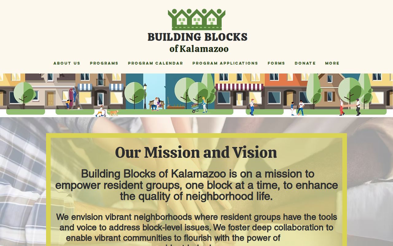
Use published contacts for Kalamazoo Township research to learn about a meeting or project. Private membership lists, block-watch rosters, and other nonpublic records should not be collected or treated as a residents directory.
Westwood’s Kalamazoo Township Boundary
Westwood is a useful geographic warning for a neighbor lookup. The City of Kalamazoo describes Westwood as partly in the city and partly in Kalamazoo Township. That description is useful for locating a community, but it is not a legal parcel boundary. A Kalamazoo Township street name, postal city, or neighborhood label can cross a line that changes the responsible assessor, election jurisdiction, and record route. Confirm the selected parcel through the county’s township and city boundary layer before drawing any conclusion from a local contact or county search result.
The same care applies throughout a place shaped by city expansion and township-edge development. Kalamazoo City absorbed former township land over time, and directory entries used in Kalamazoo Township research may use a Kalamazoo postal label for different local units. For a present-day block, the parcel’s displayed jurisdiction is more reliable than a historic directory heading or a postal city alone.
Kalamazoo Township Neighbor Tools Compared
Kalamazoo Township official records and commercial neighbor-lookup products serve different purposes. The official path identifies the record, its custodian, and its limits. Commercial products may combine public-record extracts, marketing data, directory information, and probable matches. They can be stale, merge people with similar names, omit protected entries, or charge for access. A current parcel map, a county record, and a dated historical directory should be read as separate evidence rather than merged into one unverified profile.
| Source type | Useful for | Important limit |
|---|---|---|
| County GIS and parcel roll | Parcel geometry, owner association, and jurisdiction | Owner or mailing information does not establish every household connection |
| Deed index | Recorded property transfers and legal-description trail | Street addresses are not required in recorded documents |
| QVF or historical directory | Limited registration or dated address evidence | Public-field rules, redactions, dates, and omissions apply |
| Commercial lookup category | A possible lead to verify with a custodian | May be stale or inaccurate and is not an official record |
A Kalamazoo Township record that has a date, custodian, and stated role is the better starting point. If an official entry is wrong, contact the assessor, clerk, court, recorder, or other source office rather than relying on an outside listing to correct it.
Kalamazoo Township Neighbor Lookup Limits
Some information around a Kalamazoo Township block is deliberately not public. The Address Confidentiality Program can give qualifying participants a substitute address under Michigan law. Protected voter fields, sealed court files, restricted vital records, utility and delivery accounts, and motor-vehicle information remain outside ordinary public lookup routes. The absence of a name from a parcel record, voter response, or historical directory does not prove that no connection exists. It may only mean the source does not cover that person or date.
Lawful use. Kalamazoo Township neighbors research is for getting to know a block, reconnecting, civic curiosity, and personal safety awareness. Michigan law prohibits stalking, harassment, and repeated unwanted contact.
Keep the search to the address and records question at hand. If a record appears incorrect, save the source and date, then ask the responsible custodian about its correction procedure. Do not use a public map, directory, or contact list to watch, pressure, or intimidate another person.