
Kalamazoo Township Address-History Sources
A Kalamazoo Township backward address trail needs an era map. The current parcel identifies the modern property reference. Land instruments connect owners through legal descriptions. KPL directories and telephone books can place a historical household or contact at a printed number. Census schedules supply a dated household snapshot, while permits, maps, obituaries, and probate files can explain a building change or a family transition. For Kalamazoo Township research, the strongest result is a sequence whose dates and address form agree, not one isolated name hit.
| Source | Years it covers | Where held | What it shows |
|---|---|---|---|
| Kalamazoo Township land-record lead | Images from 1831; complete index through 1984 | Register of Deeds, online and public workstation | Grantors, grantees, instruments, dates, legal descriptions |
| Kalamazoo Township KPL directory lead | City run from 1860; criss-cross from 1954 | KPL Local History Room | Printed household, street-number, and telephone clues |
| Kalamazoo Township census lead | Public release follows the 72-year rule | NARA and library research channels | Household relationships, ages, birthplaces, and civil division |
| Kalamazoo Township map and plat lead | Kalamazoo items for 1891, 1902, 1908, and 1932 | Library of Congress and KPL atlas resources | Building footprint, lot context, and number continuity |
| Kalamazoo Township permit-file lead | Date-specific file access | KABA request and FOIA route | Building work, issue dates, inspection events, and final status |
Begin with the modern parcel when the property still exists. Begin with the directory or map when only an old number is known. For a Kalamazoo Township family question, use the household sources only after the street and jurisdiction have been reconciled. City of Kalamazoo, township, and former township land can share a familiar postal label without being the same legal place.
Kalamazoo Township Parcel Starting Point
The free Kalamazoo County Parcel Search offers Owner, Parcel ID, and Street routes. For a Kalamazoo Township property, Street accepts any portion in a street-number and street-name form, and a street name alone returns matching properties. A parcel ID can be entered with hyphens, spaces, or no punctuation. Save the exact situs or property address, local unit, parcel ID, owner name, and source date. The situs identifies the physical parcel. An owner mailing address is where assessor correspondence goes and may point somewhere else.
For current building information, the county directs readers to the local assessor. Kalamazoo Township's assessing contact is at 1720 Riverview Drive, with assessor@ktwp.org and 269-381-8083 ext. 118. The county viewer is a starting record, not a final statement about every attribute or person connected with a parcel. The County Parcel Viewer can show a boundary and local-unit context, but its map data combines sources from several agencies and carries the county's error warning.
Use this Kalamazoo Township address-to-record flow: street address → parcel ID and local unit → current owner name → recorded instrument → legal description → earlier instrument. That flow protects against treating a mailing address or a similar street name as the property itself.
Trace Kalamazoo Township Past Residents in Deeds
The Kalamazoo County Deeds Search provides Name, Date Range, Liber/Page, Document Number, and Parcel Number paths. For Kalamazoo Township, the Register of Deeds recommends name-first research because a street address is not required on a recorded instrument. With the current owner and parcel reference in hand, locate the instrument conveying that interest. Then move back by searching the prior seller as a buyer in an earlier date range and matching the legal description, lot and block, subdivision, or parcel reference.
- Open the current parcel record and copy the situs address, parcel ID, local unit, owner name, and legal-description clues.
- Search the current owner's exact and variant names in the Deeds Search index, then identify the most recent conveyance tied to the legal description.
- Record the grantor, grantee, document type, recording date, document number or liber/page, and any indexed parcel reference.
- Search that prior grantor as a grantee in an earlier window, then compare the legal description before adding another link.
- Continue backward until the index or record trail ends, then use the public workstation, historic images, deed books, microfilm, or Archives of Michigan as appropriate.
- Grantor
- The person or entity giving or transferring the recorded interest.
- Grantee
- The person or entity receiving that interest in the recorded instrument.
- Chain of title
- The sequence of recorded land instruments that links one ownership interest to earlier ones.
- Legal description
- The lot, block, subdivision, metes-and-bounds, or other land description used to match a deed across changing street addresses.
A Kalamazoo Township deed can identify an ownership transfer, but it does not establish every past resident of the address. Treat an owner, a household entry, and a person printed in an obituary as separate types of evidence until dates and address details connect them.
Kalamazoo Township Deed Index Limits
Kalamazoo County reports land-record images dating to 1831, while the complete index reaches through 1984. For Kalamazoo Township past-resident work, an older image can exist even when a name search is incomplete. The 2024 county digitization project scanned more than 1.5 million land documents and index books, and the county's 2025 report describes continued enhanced and historical indexing. The project improves preservation and access, but it does not turn every historic name into a complete online search result.
The online index is free. Kalamazoo Township researchers can view images for $1 per page plus a $2.50 technology fee through the document-search system. The county's public workstation at the County Administration Building supports free grantor/grantee searching, with prints at $1 per page. For a casual web search, Tapestry EON is listed at $8.75 per search, while Laredo is a monthly service for regular users. Staff can look up the latest deed for $5 per property, then $1 per page; certified copies add $5. Those channels are alternatives, not interchangeable copies of the same record.
The Register of Deeds access page shown below directs Kalamazoo Township searchers to the name-first and public-workstation routes. It is the proper source to use when an address-only search gives no meaningful result.
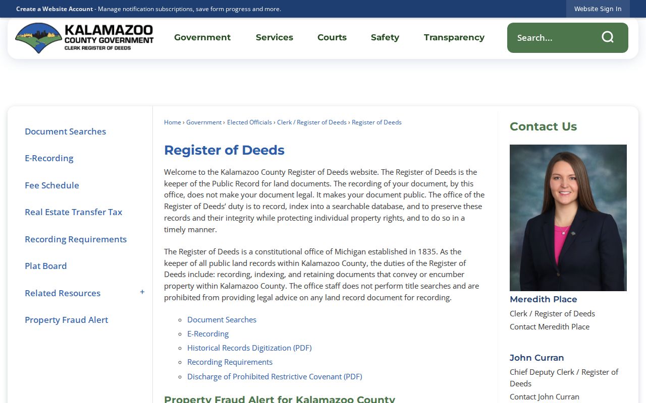
A blank street field in an old instrument is not proof that a Kalamazoo Township parcel has no history. Match the party names and legal description, and use the counter or archival route when the online index no longer provides a reliable path.
Note: County Register staff record and retrieve instruments, but they do not perform an in-depth title examination or give legal advice.
Kalamazoo Township Previous Residents Address Bridges
A direct number match can send a Kalamazoo Township trail to the wrong structure. Kalamazoo adopted a Philadelphia-style numbering system in 1883, and a city-wide renumbering followed in 1925. There was no 1925 directory, so the workable comparison is 1924 against 1926. KPL notes that the 1932 Sanborn atlas carries old and new numbers. A township address close to the city edge also needs a separate current-jurisdiction check because Kalamazoo city annexed substantial former township land from 1843 through 1962.
Street names require the same patience. Cork appears as St. James, Oakland Drive as Asylum Avenue, Riverview as Seminary, and Vine as Rice in KPL's bridge list. Miller Road becomes ML Avenue outside the City of Kalamazoo. Compare former and current names in directories, plats, and maps before deciding that two record entries refer to the same Kalamazoo Township location.
The Library of Congress Sanborn collection offers Kalamazoo Township researchers a map-access channel for the mapped Kalamazoo area. Its coverage can stop near township edges, so use it as building and address evidence, not as a township boundary map.
Kalamazoo Township House-History Sources
KPL's Pages from the Past method brings together plats, tax records, city directories, census schedules, obituaries, and county histories. That method gives Kalamazoo Township house history a useful structure because it does not assume that an ownership record and a household listing tell the same story. The Local History Room holds city, suburban, rural, and criss-cross runs, newspaper microfilm, maps, atlases, yearbooks, and clipping files. Ask staff for each type separately rather than asking only for a general address search.
The KPL Local History Online collection shown below leads Kalamazoo Township researchers to Pages from the Past, the Local Information Database, and digital partner collections.
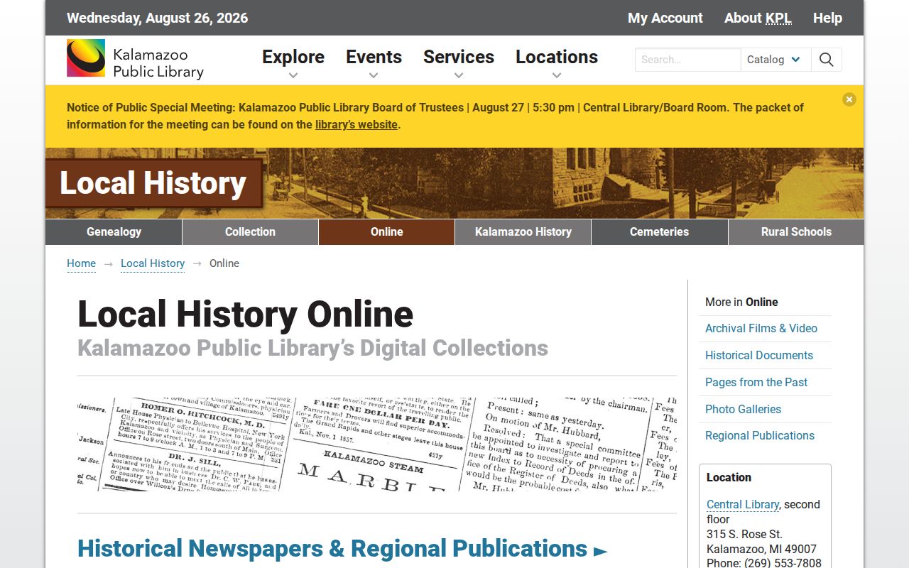
Use its citations to locate the underlying microfilm, file, image, or staff-held material. For Kalamazoo Township research, KPL's Gazette run is almost complete from 1834 to the present, and its clipping files are richest from 1928 through 1968, which can help explain a name change, a move, a death, or a building event.
For construction evidence, KABA serves Kalamazoo Township permits and inspections. Its forms cover building or demolition, electrical, mechanical, and plumbing work. There is no public indexed address interface in the research, so request a permit file by address or parcel with an approximate date and record category. KABA lists its office at 2322 Nazareth Road, Kalamazoo, phone 269-216-9511, and permit forms and contact channels online.
Kalamazoo Township Previous Residents Household Trail
Land records identify transfers. To understand who lived at a Kalamazoo Township address, add the historical household layer. KPL city directories begin in 1860, suburban directories run from 1966 through 1976, and the address-first criss-cross run begins in 1954. Telephone books begin in 1913, although KPL reports a reliable run beginning in 1949. The collections themselves and the entry conventions are detailed on the Kalamazoo Township city directories page.
- Select directory volumes closest to the Kalamazoo Township target date and copy the exact printed street number, name, locality, and person or household reference.
- Use the criss-cross volume when an address is known, then compare its result with the alphabetical or telephone section when available.
- Pair directory years with the federal census release for the period, keeping the census date and the directory year distinct.
- Search KPL Gazette microfilm and the Local Information Database for obituary, marriage, removal, real-estate, and community notices.
- When a death or estate question remains, use the Kalamazoo Probate Court Index, then inspect eligible files at the Gull Road office or through its microfilm and paper holdings.
For Kalamazoo Township, probate records begin in 1832; its free index is 1995-current with active older cases, and images are not online. The index can show a case number, type, status, filing date, attorney, fiduciaries, and document entries. It is an endpoint source for an estate trail, not a shortcut to private or protected information.
Kalamazoo Township Past Resident Limits
Kalamazoo Township past-resident research can establish a dated record association, not a complete account of everyone who has ever been at a property. Directory books can omit people. A tax record or parcel card may identify an owner but does not prove physical presence. A permit can name an applicant or contractor and document work, not a household. Maps show a structure and number history, but not the identity of everyone connected with it.
Keep each source, date, spelling, locality, street form, parcel reference, and uncertainty in the same Kalamazoo Township research note. That preserves the difference between a documented transfer, a printed directory entry, and a supported household conclusion.